

Maps Class 6 – NCERT Solutions & Quick Revision
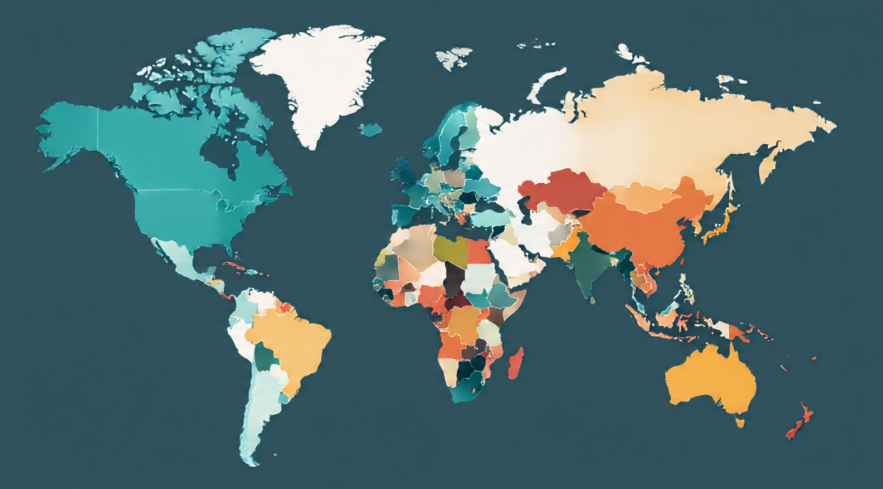
A map is a representation of the whole Earth or a part of it on a flat surface. Maps help us understand location, distance, direction, physical features, political boundaries and many other kinds of information. This page gives the correct solutions for the familiar Class 6 Geography chapter “Maps”, together with simple revision support.
2026–27 note: In the current NCERT Class VI Social Science textbook Exploring Society: India and Beyond, map skills are taught within the broader topic “Locating Places on the Earth.” This page keeps the older “Geography Chapter 4 – Maps” title because many students, schools and searchers still use that sequence. The map concepts remain important across boards and countries.
| Concept | Quick meaning |
|---|---|
| Map | A flat representation of the whole Earth or part of it. |
| Scale | Relationship between distance on a map and real distance on the ground. |
| Direction | North, South, East, West and intermediate directions. |
| Symbol | A sign, colour, line or picture used to represent a feature. |
| Plan | A detailed drawing of a small area, usually on a large scale. |
| Sketch | A rough drawing that may not use an exact scale. |
Watch & Learn: English + Hindi Video Lessons
English: Maps Full Chapter – Class 6 Geography
This public Magnet Brains lesson explains types of maps, scale, direction, symbols, sketch, plan and the chapter exercise in a clear visual format.
हिंदी: कक्षा 6 भूगोल – मानचित्र
यह सार्वजनिक Hindi e-School वीडियो मानचित्र के प्रकार, स्केल, दिशाएँ, संकेत, स्केच और प्लान को हिंदी में समझाता है और अध्याय के प्रश्नों की तैयारी में मदद करता है।
NCERT Exercise Solutions – Maps
1(a) What are the three components of a map?
Answer: The three basic components of a map are distance, direction and symbols.
1(b) What are the four cardinal directions?
Answer: The four cardinal directions are North, South, East and West. Northeast, southeast, southwest and northwest are intermediate directions.
1(c) What do you mean by the scale of a map?
Answer: A map scale shows the relationship between a distance measured on the map and the corresponding real distance on the ground. For example, if 1 cm represents 5 km, a 3 cm map distance represents 15 km in reality.
1(d) How are maps more helpful than a globe?
Answer: A globe is useful for studying Earth as a whole, but maps can show the whole world or a much smaller area such as a country, city, neighbourhood or road in greater detail. Maps are also easier to carry, print, compare and use for route finding.
1(e) Distinguish between a map and a plan.
| Map | Plan |
|---|---|
| Represents the whole Earth or part of it. | Represents a small area in great detail. |
| May cover a country, state, city or region. | May show a room, house, school or building layout. |
| Uses scale, direction and symbols. | Usually uses a large scale so small details can be shown clearly. |
1(f) Which map provides detailed information?
Answer: A large-scale map provides detailed information because it represents a smaller area with more space available for showing individual features.
1(g) How do symbols help in reading maps?
Answer: Symbols allow roads, rivers, bridges, buildings, railways, forests and other features to be shown without drawing their real shapes and sizes. A map legend or key explains the symbols. Conventional symbols also make maps easier to understand even when the reader does not know the local language.
Tick the Correct Answers
- Maps showing the distribution of forests are thematic maps.
- The colour blue is commonly used for water bodies.
- A compass is used to find direction.
- A scale is necessary for a map.
Map, Sketch and Plan – Quick Comparison
- Map: represents an area using scale, direction and symbols.
- Sketch: a rough drawing made mainly to show location or route; exact scale is not necessary.
- Plan: a detailed drawing of a small area, normally made to scale.
Why Scale Matters
Without scale, we cannot correctly convert distance on paper into real-world distance. If a map says 1 cm = 2 km and two places are 7 cm apart on the map, their approximate real distance is 14 km.
5-Minute Map Activity
- Draw a simple map of your classroom, home or nearby street.
- Add a north arrow.
- Create at least five symbols and explain them in a legend.
- Add a simple scale if possible.
- Give your map to someone else and see whether they can understand it without your explanation.
Quick Self-Test
- Which type of map would you use to study rainfall distribution?
- Which map component helps calculate real distance?
- Name the four cardinal directions.
- Why is a plan usually drawn on a large scale?
- What does a map legend do?
Answers: (1) Thematic map. (2) Scale. (3) North, South, East and West. (4) To show a small area with greater detail. (5) It explains symbols, colours and signs used on the map.
Maps Class 6 FAQs
What are the three main components of a map?
Distance or scale, direction and symbols are the three basic components traditionally taught in this Class 6 chapter.
What is a thematic map?
A thematic map focuses on one particular topic or theme, such as rainfall, population, forests, climate or transport.
What is the difference between a small-scale and large-scale map?
A small-scale map shows a larger area with less detail, while a large-scale map shows a smaller area with more detail.
Is Maps still Chapter 4 in current NCERT Class 6?
Not in the current integrated NCERT Social Science textbook. Map skills now appear within Exploring Society: India and Beyond, especially the topic Locating Places on the Earth. The older Chapter 4 title remains useful for students following the previous sequence or other boards.
Related Class 6 Geography Learning
- Maps Class 6 Notes – Scale, Directions, Symbols & Types
- Globe, Latitudes and Longitudes Class 6 Notes
- Globe, Latitudes and Longitudes – NCERT Solutions
- Motions of the Earth Class 6 Notes
- Major Domains of the Earth Class 6 Notes
- CBSE Class 6 Notes Hub
- Current NCERT Class VI Social Science textbook
Study tip: Map skills improve through practice. Whenever you open a map, first identify its title, direction, scale and legend before trying to interpret the information.







Leave a Reply